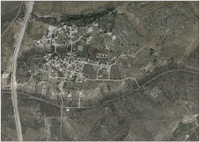
Sikka, Hebron
Sikka
سكة | |
|---|---|
| Sikka, Hebron | |
Sikka Location of Sikka within Palestine | |
| Coordinates: 31°29′28″N 34°56′39″E / 31.49111°N 34.94417°E | |
| Palestine grid | 144/100 |
| Country | Palestine |
| Governorate | Hebron Governorate |
| Elevation | 425 m (1,394 ft) |
| Population (2017)[2] | |
• Total | 914 |
| Name meaning | Kh. Sirreh, the ruin of cold[3] |
Sikka is a Palestinian village in the Dura district of the Hebron Governorate, in the south of the West Bank.[4]
Population
The 2017 census listed the village's population at approximately 914.[2]
Geography
Located west of the city of Dura, the village is approximately 425 metres (1,394 ft) above sea level.[1]
History
Ottoman era
In 1883, the PEF's Survey of Western Palestine found "ruined walls, caves, and cisterns" in Sikka.[5]
Jordanian era
After the 1948 Arab–Israeli War, the area fell under Jordanian rule. The Jordanian census of 1961 found 250 inhabitants in "Kh Sikka".[6]
See also
References
- ^ a b "2021 دولة فلسطين دليل الحدود االنتخابية للهيئات المحلية" [State of Palestine Guide to Electoral Boundaries for Local Authorities 2021] (PDF) (in Arabic). Archived from the original (PDF) on 2022-03-09.
- ^ a b النتائج األولية للتعداد العام للسكانو المساكن والمنشآت (PDF), Palestinian Statistical Central Agency, 2017, p. 79, archived from the original (PDF) on 31 October 2022
- ^ according to Palmer, 1881, p. 402
- ^ "Sikka/Tawas Village Profile" (PDF), Palestinian Localities Study, Hebron Governorate, Applied Research Institute–Jerusalem, 2009
- ^ Conder and Kitchener, 1883, SWP III, p. 367
- ^ Government of Jordan, Department of Statistics, 1964, p. 22
Bibliography
- Conder, C.R.; Kitchener, H.H. (1883). The Survey of Western Palestine: Memoirs of the Topography, Orography, Hydrography, and Archaeology. Vol. 3. London: Committee of the Palestine Exploration Fund.
- Government of Jordan, Department of Statistics (1964). First Census of Population and Housing. Volume I: Final Tables; General Characteristics of the Population (PDF).
- Mills, E., ed. (1932). Census of Palestine 1931. Population of Villages, Towns and Administrative Areas. Jerusalem: Government of Palestine.
- Palmer, E.H. (1881). The Survey of Western Palestine: Arabic and English Name Lists Collected During the Survey by Lieutenants Conder and Kitchener, R. E. Transliterated and Explained by E.H. Palmer. Committee of the Palestine Exploration Fund.
External links
- Welcome To Khirbat al-Sikkah at palestineremebered.com
- Survey of Western Palestine, Map 21: IAA, Wikimedia Commons
- Sikka-Tawas Village (Fact Sheet) from the Applied Research Institute–Jerusalem (ARIJ)
- Sikka/Tawas Village Profile, from the ARIJ
- Sikka areal photo, from the ARIJ