Eurong, Queensland
| Eurong Queensland | |||||||||||||||
|---|---|---|---|---|---|---|---|---|---|---|---|---|---|---|---|
Shop at Eurong, 2013 | |||||||||||||||
Eurong | |||||||||||||||
| Coordinates | 25°30′41″S 153°07′34″E / 25.5113°S 153.1261°E | ||||||||||||||
| Population | 11 (2021 census)[1] | ||||||||||||||
| • Density | 3.79/km2 (9.8/sq mi) | ||||||||||||||
| Postcode(s) | 4581 | ||||||||||||||
| Area | 2.9 km2 (1.1 sq mi) | ||||||||||||||
| Time zone | AEST (UTC+10:00) | ||||||||||||||
| LGA(s) | Fraser Coast Region | ||||||||||||||
| State electorate(s) | Hervey Bay | ||||||||||||||
| Federal division(s) | Wide Bay | ||||||||||||||
| |||||||||||||||
Eurong is an island town and a locality on K'gari (formerly known as Fraser Island) in the Fraser Coast Region, Queensland, Australia.[2][3] In the 2021 census, the locality of Eurong had a population of 11 people.[1]
Geography
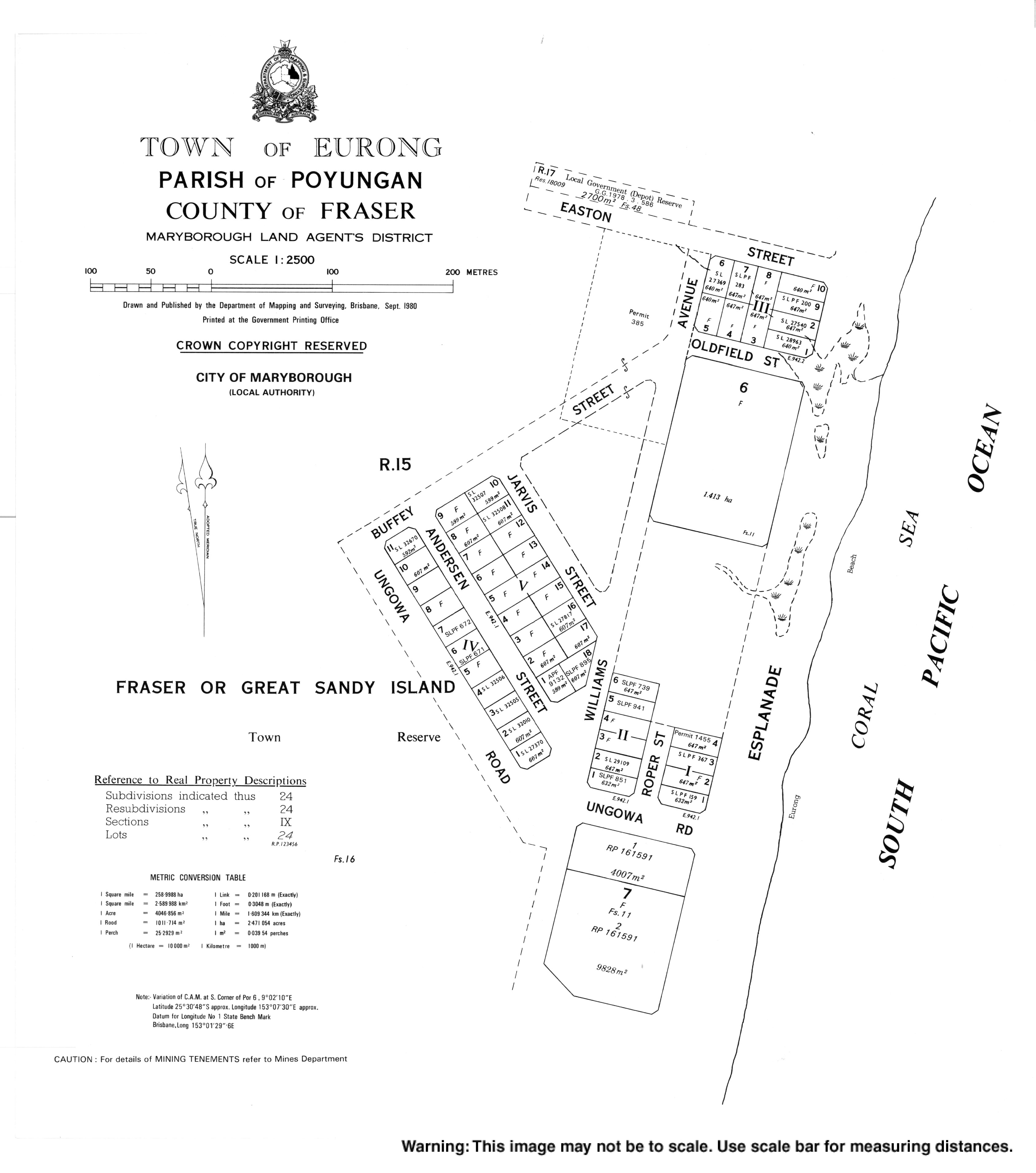
The island of K'gari is divided into two localities, one very small one, Eurong, and very large one called K'gari (the locality not the island, with Happy Valley its only town). Eurong is on the east coast of K'gari facing the Coral Sea about one quarter of the length of the island from its southern tip. Consequently, on the land, Eurong is completely surrounded by the locality of K'gari.[4]
The coastline of Eurong is approx 2.48 kilometres (1.54 mi) of the Seventy Five Mile Beach which extends to the north and south beyond Eurong.[5] The town of Eurong is immediately west of the beach.[2]
History
The name Eurong is believed to be a Kabi language word meaning rain forest.[2]
Timbergetting was the first industry in the area. By 1927, there was a settlement of forestry workers and their families (approximately 50 people) in the Eurong area. It was a very isolated settlement with a fortnightly steamer service to go to Maryborough for the weekend for shopping; apart from there was no communication or transport from Eurong. The housing was primitive, often not weatherproof in the rain. However, there was an excellent water supply from the creek.[6]
By 1937, the settlement had developed and included a dance hall. Groups of people started to come from Maryborough and Pialba to Eurong for sightseeing, swimming, picnicking, and dancing, the beginning of the tourist industry that exists today.[7]
Demographics
Eurong is a tourist destination with a range of holiday accommodation.[8] However, the Australian census only counts those people who claim the locality to be their "usual residence".[9]
In the 2016 census, the locality of Eurong had a population of 47 people.[10]
In the 2021 census, the locality of Eurong had a population of 11 people.[1]
Education
There are no schools in Eurong, nor anywhere else on the island. The alternatives are distance education and boarding school.[11]
References
- ^ a b c Australian Bureau of Statistics (28 June 2022). "Eurong (SAL)". 2021 Census QuickStats. Retrieved 28 February 2023.
- ^ a b c "Eurong – town in Fraser Coast Region (entry 11997)". Queensland Place Names. Queensland Government. Retrieved 5 August 2017.
- ^ "Eurong – locality in Fraser Coast Region (entry 46648)". Queensland Place Names. Queensland Government. Retrieved 5 August 2017.
- ^ "Layers: Locality; Mountains and ranges; Contours; Watercourses". Queensland Globe. Queensland Government. Archived from the original on 19 December 2017. Retrieved 13 June 2025.
- ^ "Seventy Five Mile Beach – beach in the Fraser Coast Region (entry 30519)". Queensland Place Names. Queensland Government. Retrieved 13 June 2025.
- ^ "FRASER ISLAND". The Brisbane Courier. No. 21, 574. Queensland, Australia. 19 March 1927. p. 13. Retrieved 18 October 2017 – via National Library of Australia.
- ^ "Frazer Island Jungle Ball". Maryborough Chronicle, Wide Bay and Burnett Advertiser. No. 20, 581. Queensland, Australia. 18 September 1937. p. 12. Retrieved 18 October 2017 – via National Library of Australia.
- ^ "Eurong". Tourism & Events Queensland. Queensland Government. Retrieved 13 June 2025.
- ^ "Usual residence standard, 2025". Australian Bureau of Statistics. 3 July 2025. Archived from the original on 22 April 2025. Retrieved 13 June 2025.
- ^ Australian Bureau of Statistics (27 June 2017). "Eurong (SSC)". 2016 Census QuickStats. Retrieved 20 October 2018.
- ^ "Layers: Locality; Schools and school catchments". Queensland Globe. Queensland Government. Archived from the original on 19 December 2017. Retrieved 13 June 2025.